


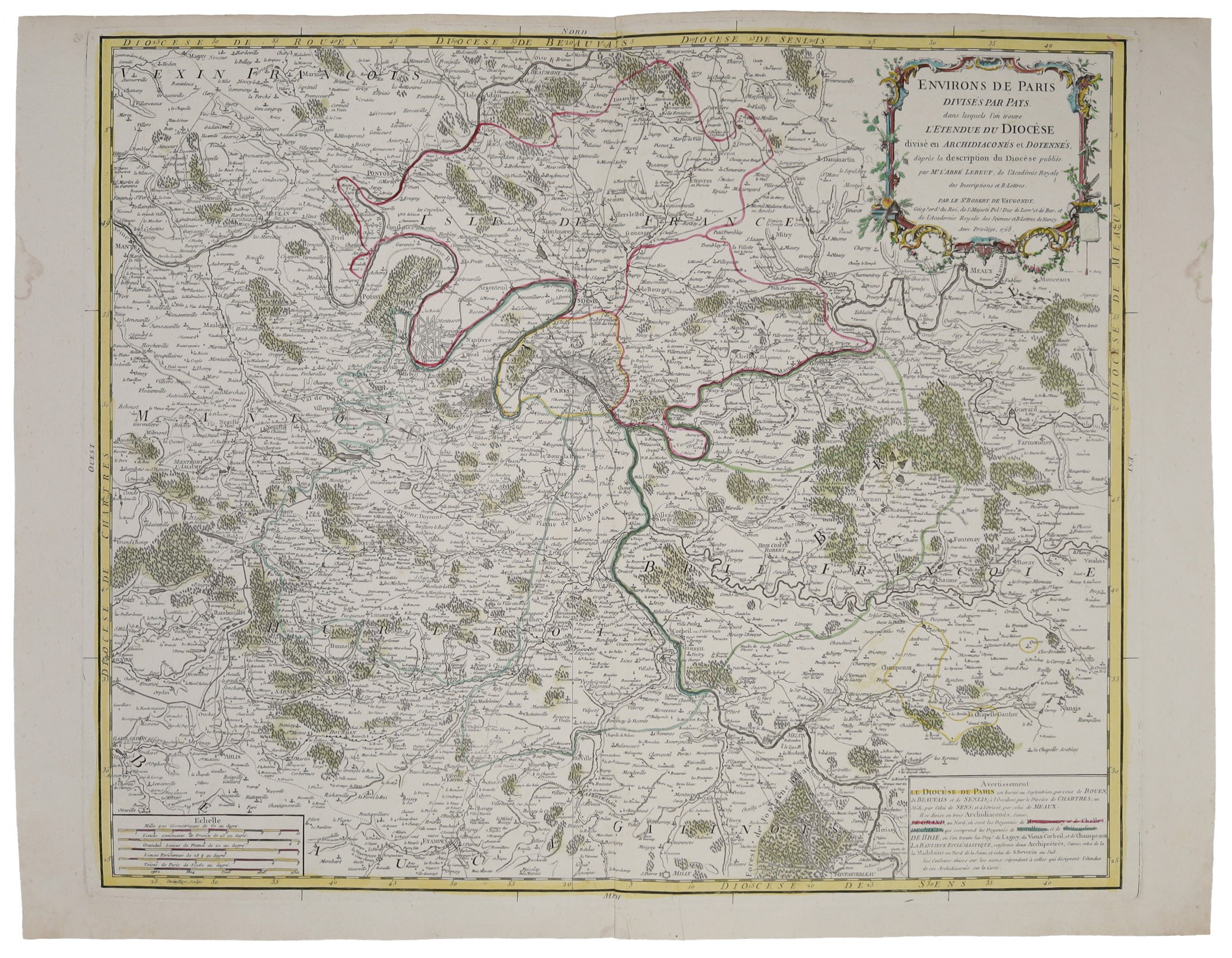
Copperplate, colored, paper, 52 x 68 cm; good condition.
In the cartouche Vaugondy identified as "cartographer of the king of Poland". The map covers lands to the west of Montfort, east to Farmonstier, north to Beaumont and south to Milly.










Vizualizate recent
Loghează-te pentru vedea lista loturilor
Preferate
Loghează-te pentru vedea lista loturilor