


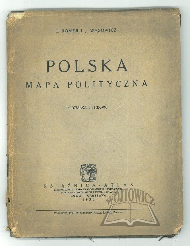
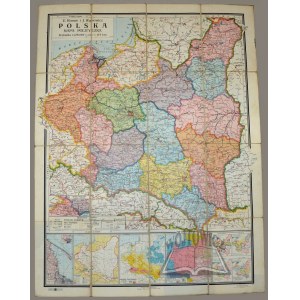
POLAND political map.
E. Romer and J. Wąsowicz. Scale 1:1,250,000. Warsaw-Lviv 1930. Książnica Atlas. Map on canvas, color, typeset. Format: 98 x 75 cm.
Rust stains on canvas, covers slightly soiled. Good condition. Under the main map, minor thematic maps. Map information in upper left corner.






Vizualizate recent
Loghează-te pentru vedea lista loturilor
Preferate
Loghează-te pentru vedea lista loturilor